


VILLAGE LINK
To view the Village Link website and its walks, click the Village Link logo.
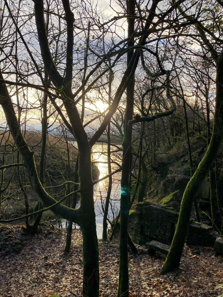
PILGRIMS' WAY
Follow the route of the Pilgrims  from Whalley to Manchester.
For detailed information on this walk click
Pilgrims' Way
or click the picture.
Walk Reports
Monday 8th December 2025
Following the River Irwell on Greenways from Radcliffe to Manchester, back via Metro Link.
Fifteen walkers met at Close Park Radcliffe on a very mild and sunny day for December. We began by walking past St Mary’s Church and the Ruins of Radcliffe Tower. Records show that there has been a church on this site since Saxon times, with part of the present building dating back to the 13th century. The tower was part of a manor house built by James de Radcliffe in 1403.

St Mary's Church
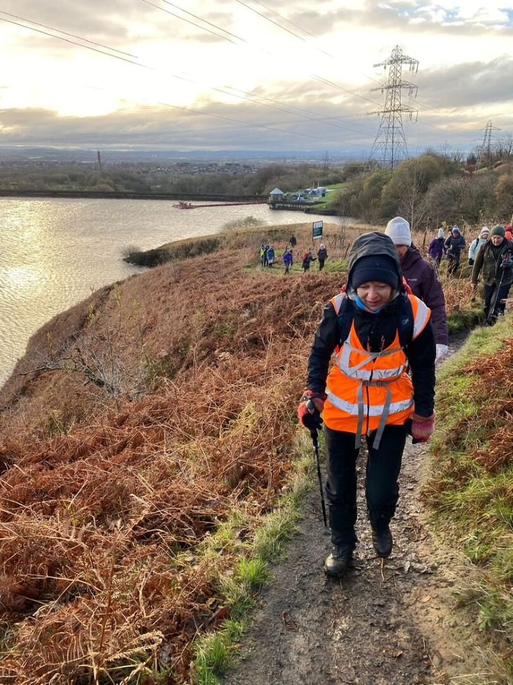
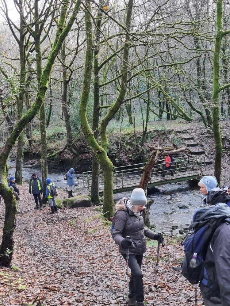
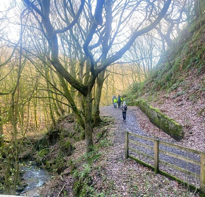
After the history lesson, we walked into the centre of Radcliffe, which was a building site, and it proved difficult to find a footpath to the start of the Outwood Trial. Once on the trail, which is also part of Route 6 cycle trial, we headed across the bridge, over the river Irwell and started our walk through the woods. The route also follows the Irwell Sculpture Trail, which originally included twenty-eight works of art, stretching from Salford to the Pennies above Bacup. Many of these sculptures have since disappeared but one that does remain is a large block of granite that was sculptured by Ulrick Ruckriem. The river was now our guide as it flows into the centre of Manchester, passing first through Prestwich Forest Park and on into Drinkwater Park, where we stopped for our morning coffee.

The Outwood Trail

The granite sculptor

Coffee stop
Once out of the park we crossed Agecroft Road and followed the path along the bank of the river, passing Agecroft Cemetery, on our right. We were now on the outskirts of Salford where the river passes through a more built-up district but still manages to retain a wide variety of bird life on the water. After crossing Littleton Road, we turned right just before the black and white building that used to be The Racecourse Hotel, whilst it was called Manchester Racecourse in fact it was in Salford.
The area is now part of Salford Wetlands, opened in 2018 as part of a £10 million flood defence scheme. We spent some time admiring the views whist eating our lunch. Once back on the route we re-joined the Irwell, where we had the first views of Manchester, in the distance.

The Racecourse

The Wetlands

Views of Manchester
After passing several very tall new buildings we eventually left the river and once through a brightly decorated underpass we immerged into the city centre, from where it was just a short walk to the Manchester Cathedral, and the end of our journey having covered ten green miles.

The cathedral
Monday 1st December 2025
Special Christmas Walk
Twenty six walkers left the Old School in Greenmount and headed down Brandleshome Road as far as Shepherd Street where we turned right and walked to Tower Court, once known as Tower Farm. It was built by Joshua Knowles in 1840 as a stable and dwelling, and was modelled on Nuttall Hall Farm, home to his former employer, the Grants Brothers. After turning left we crossed the bridge over Kirklees Brook, the site of Tottington Mill acquired by Joshua Knowles in 1820 and used as a print works.

Tower Court

Kirklees Brook
We soon arrived at Kirklees Street, where we turned left and re-crossed the Kirklees Brook. Once over the bridge we made our way past the Kirklees Valley Wildlife Rescue Centre, and onto Brandleshome Road, which we crossed and headed down Wood Road Lane, into Summerseat. After spending time looking at the volume of water coming down the river Irwell, we climbed the steps up to the railway line and once safely across we continued to climb up to the footpath, at the top of the valley where we turned right and made our way to Springside Road.

Crossing the river Irwell
After turning right, we walked for a short distance before climbing a stile on our left and heading up to Touch Road where we turned right and continued down to the very wet fields overlooking the caravan park at Burrs Country Park. Once we had negotiated our way across the wet fields we walked to the platform on the East Lancashire Railway, to enjoy our morning refreshment break.

Very wet fields

East Lancashire Railway
Continuing our walk, we passed the Lamppost Cafe and once over the bridge we turned right and climbed the steps up to a footpath that took us into Brandlesholme. After crossing the main road, we headed down Garside Hey Road and back into Kirklees Woods where we followed the brook back to Kirklees Street. When we reached Berly Avenue we turned right and made our way back onto the Kirklees Trail, which we followed into Greenmount, having covered six miles. Having dried off and removed the mud we enjoyed our Christmas lunch at the Miller & Carter Steak House.

Lunch time

and more!
Wednesday 19 November 2025
GM Ringway from Norden to Cheesden Valley, back by Naden Valley
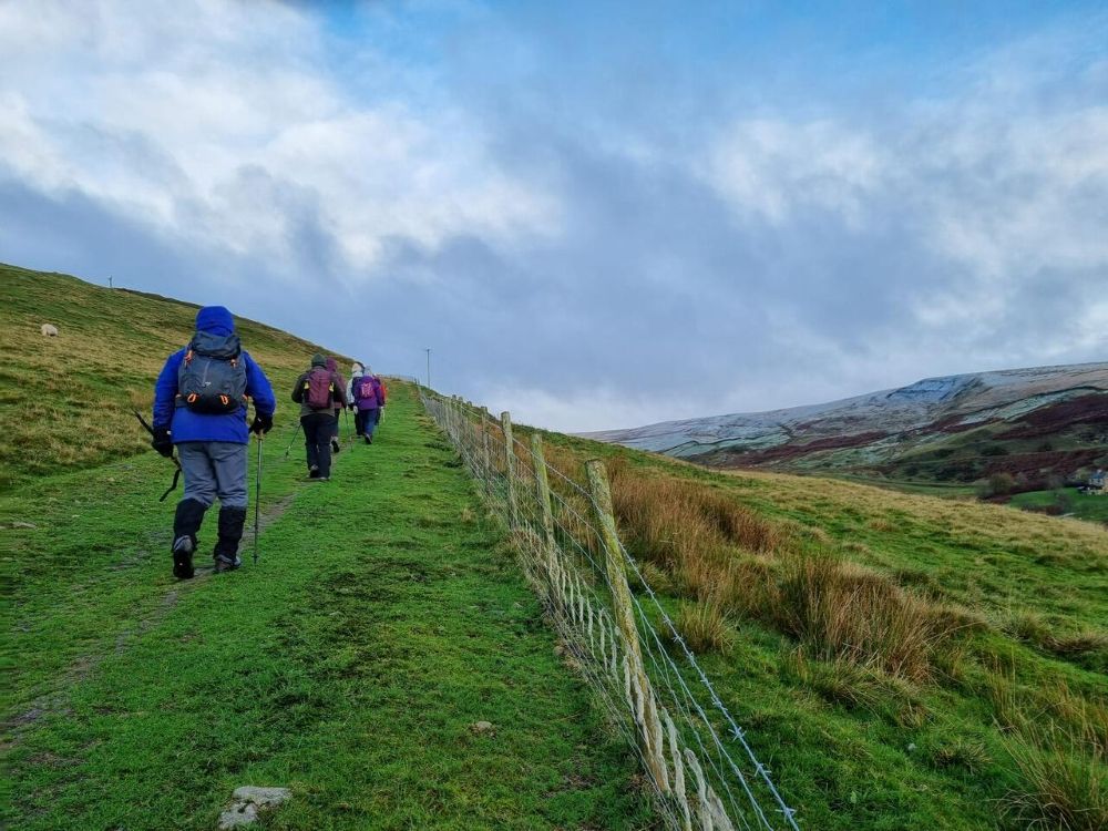
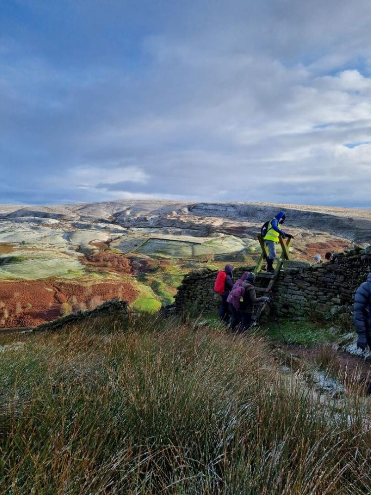
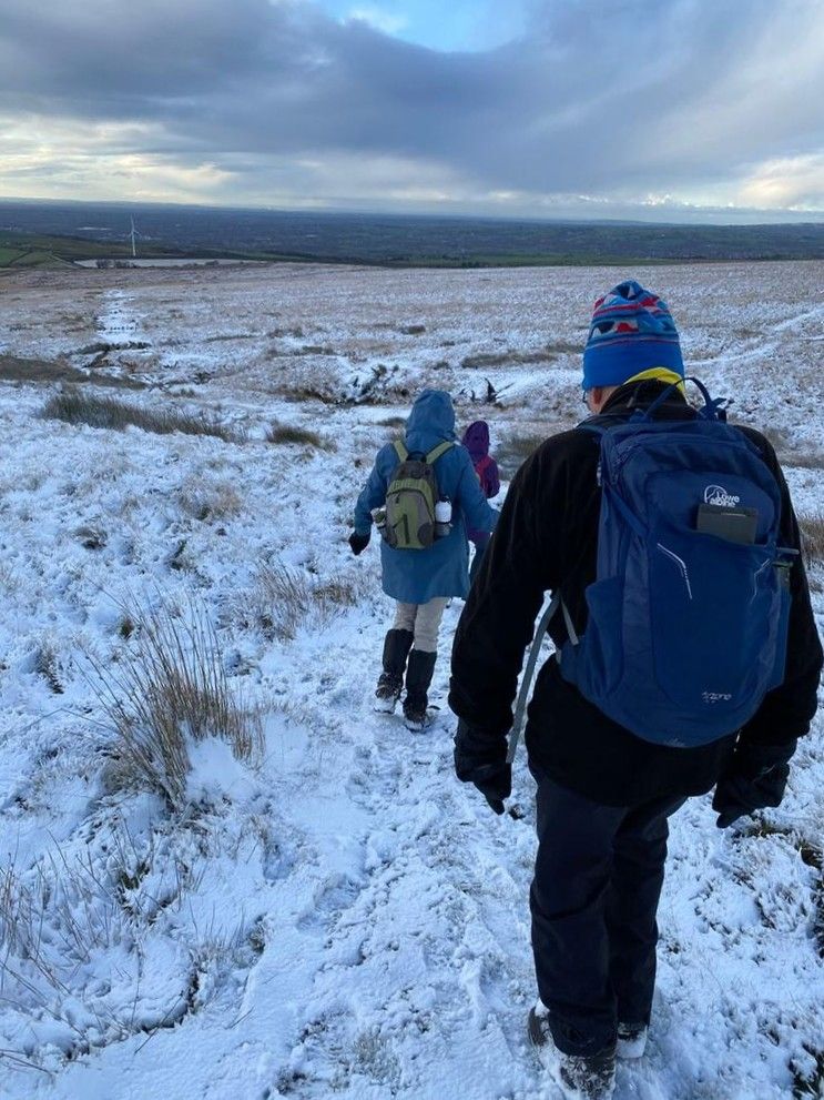
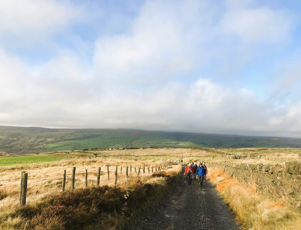
Seventeen walkers set off from Over Town Lane in Norden on a dry morning, well wrapped up against the low temperature and cold wind. We followed the GM Ringway route, crossing the bridge over the high waterfall, which was in full flow, down into the valley. We walked over the footbridge and up the other side, passing through the fields before climbing the path, overlooking Greenbooth Reservoir and Naden Lower Reservoir down to our right. From here, we could also admire the spectacular views of the snow on the tops of the surrounding hills. We continued along the high steep and narrow path, of the Rochdale Way, up to Dixon’s Brow where we climbed over the dry stone wall, at the ladder stile and made our way across the snow covered moor, to Fordoe Brook, and ascended to the trig point on Knowl Hill (419m), where we had stunning views to the hills behind us and south towards Manchester and Cheshire. We did not linger, due to the icy wind, but descended carefully, across Red Lumb Brook and Ashworth Moor to Edenfield Road.
Norden
Climbing up to reservoirs
Reservoirs
Ladder stile
Knowl hill
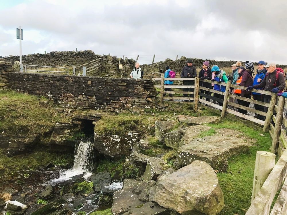
After crossing the road and turning right with Ashworth Moor Reservoir on our left before descending the steps, at the gap in the wall, and following the path as it meandered right to Lumb Bridge, over Cheesden Brook, to the mill ruins, where we had our morning break in the sunshine.
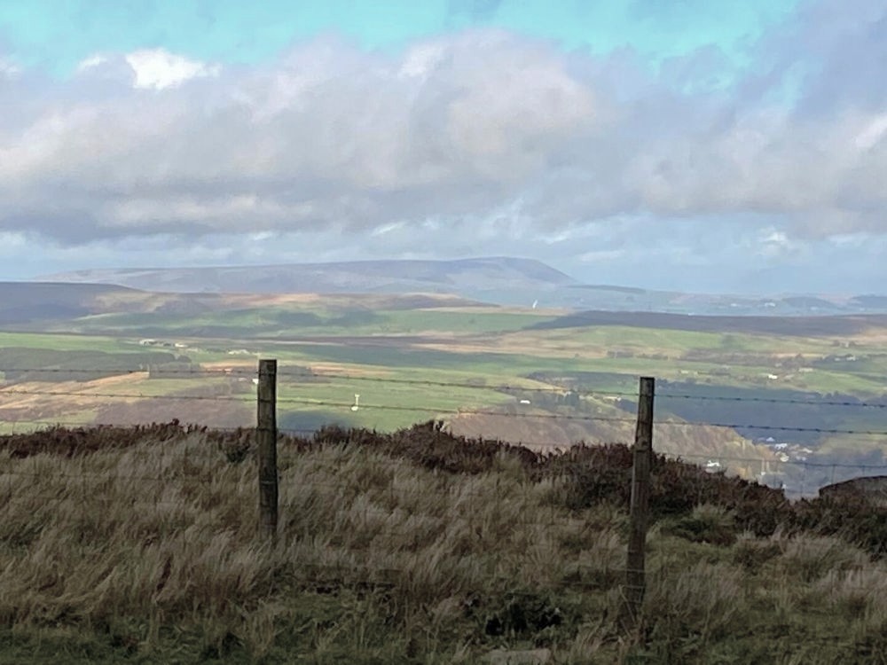
Once refreshed, we retraced our steps to the bridge and passed through the stile to take the path on our left leading to the track, where we crossed the stile and turned left. We followed the track passing Croston Close and continued along Croston Close Road. We followed the muddy path past Cob House Nab, where it sloped gradually upwards to the junction with Scotland Lane. After turning left, we passed Dunham Farm and continued along Scotland Lane, stopping at the top where we had clear views of Deep Moss and Cheesden Brook, on our left. We could also see the chimney in the valley bottom, which was clearly visible through the leafless trees, and beyond we had views of Deeply Vale and Deeply Hill and, and the snow covered Knowl Hill. At the junction of paths, we turned right to descend to Old Birtle, where we turned left and headed up to New Birtles Farm, where we descended into the fields, behind the farm and sat on the stone wall for lunch in the sunshine.
After passing through the fields, we emerged onto the track where we turned left and followed it down to the steep leaf-covered cobbled track to Cheesden Brook. Once across the footbridge, we ascended through the woodland before carefully crossing the fast-flowing stream and turning right to follow the path up past Black Dad and along the tarmac track to Ashworth Road. We then turned right and walked down the steep road before turning left along School Lane.
Cheesden Brook
Naden valley
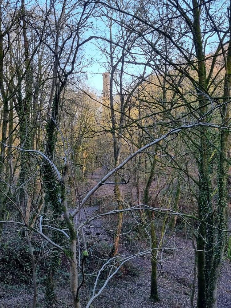
Lone chimney
As the road started to descend, we took the footpath on the left to walk through the woods of Naden Valley, with Naden Brook down below us on our right. After crossing the brook, at the bridge, we had clear views of the mill ruins and the chimney through the bare trees, we then followed the path as it curved left to Wolstenholme Fold. We turned right when we reached the first cottage then left to cross the stile and walk along the narrow path full of fallen leaves as it ascended gradually before we emerged onto the small housing estate where cross Edenfield Road and back to Over Town Lane, having concluded a thoroughly enjoyable ten mile walk with spectacular views, and warmer temperatures than when we had set off.
Monday 10th November 2025
Second Circular Walk of the River Irwell.
On a misty November morning, twenty-one walkers, including three new to the group, set out from Exchange Street in Edenfield, and after crossing the main road, we turned right into Gincroft Lane and started our steady climb up to Sand Beds Lane.
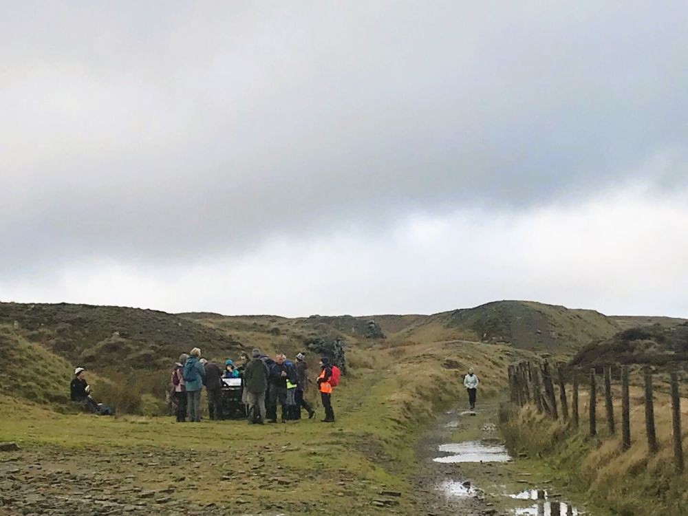
The route was very wet in places, but as we climbed up to Cowpe Lowe (440m), the mist started to clear, and we had good views over to Pendle Hill. We soon arrived at the area now known as The Valley of Stone, because of all the many stone quarries in the area, and after passing through the remnants of the quarrying activity, with the leftover stones providing seats on which to enjoy our morning coffee. The place at which we stopped was once part of the Crag Quarry Tramway, which was operational from 1867 to 1920.
Heading up Sand Beds Lane
Views over to Pendle Hill
Morning coffee stop
Once refreshed, we continued along the route until we reached Rooley Moor Road, where we turned left and made the steep descent into Stacksteads, and our continuation of the Irwell Sculpture Trail (IST). There is very little evidence of the trail, so we used the river as our way marker and continued to follow it through the two disused railway tunnels, which were part of the line from Bacup to Manchester.
Rooley Moor Road
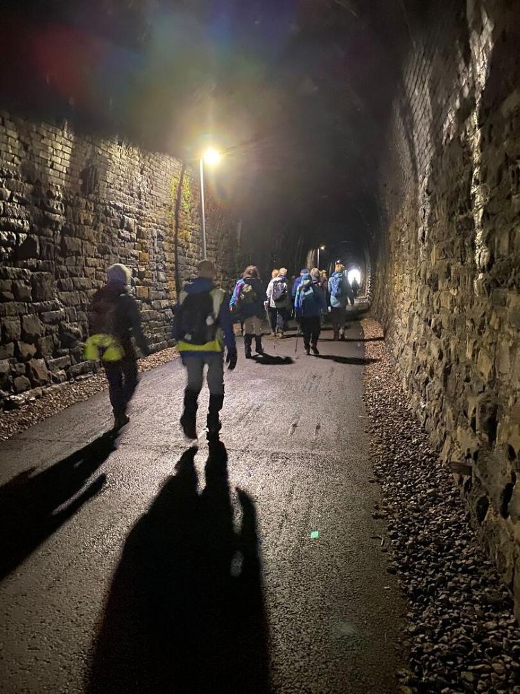
The tunnels
After crossing Bocholt Way, we walked past the Rossendale Civic Trust Museum, said to be one of the oldest properties in Rawtenstall, which was originally built as weavers’ cottages in the 18th century. Our lunch stop was at Railway Tavern, located at the end of the East Lancashire Railway, where we made use of the outdoor seating.
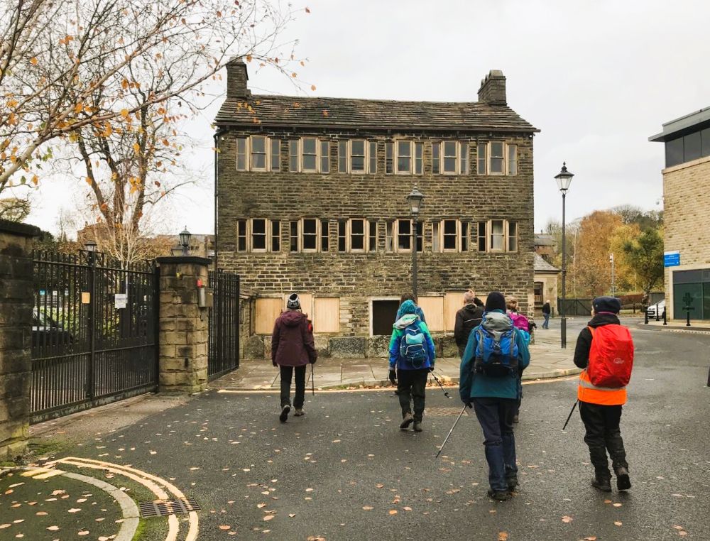
Rossendale Civic Trust Museum
Resuming our route, we turned right into New Hall Road and made our way to New Hall Business Park, where we rejoined the route of the IST. The path, alongside the river, was very muddy in places and was not for the fainthearted, but the bonus was that several of our walkers did catch sight of a kingfisher.
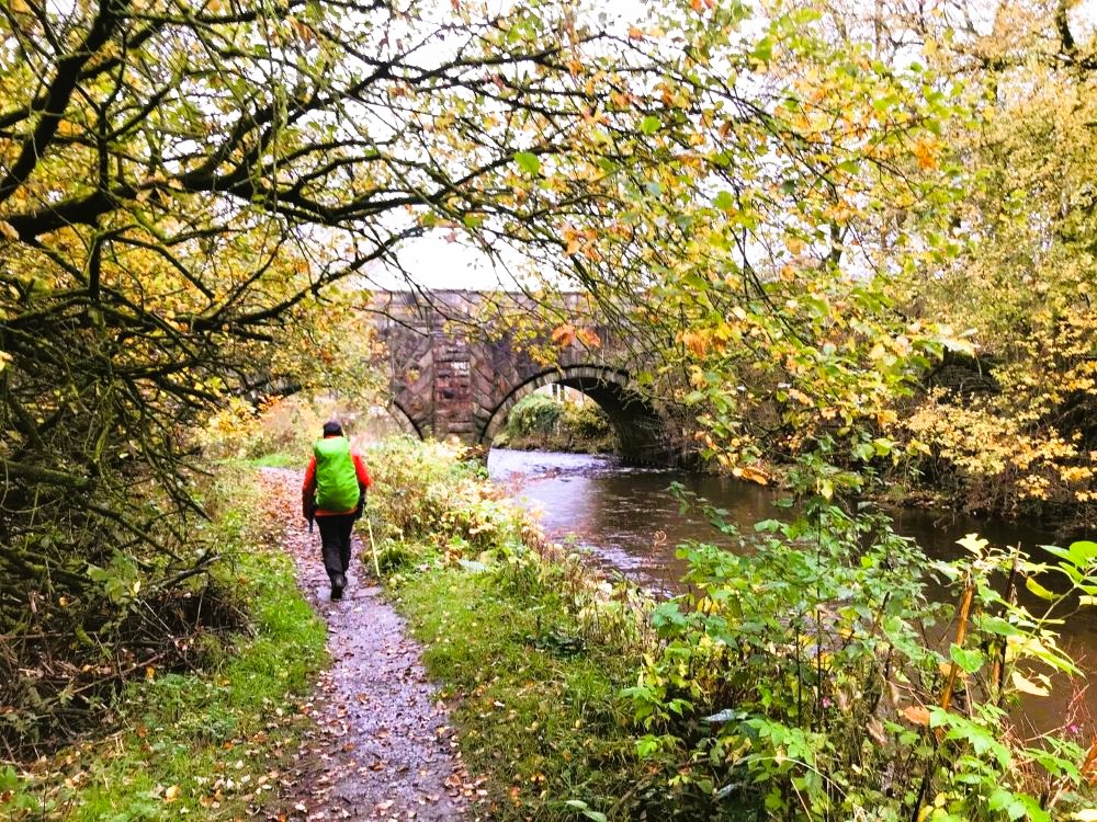
Views along the river
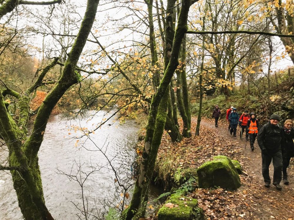
Back into Lumb
After passing under several bridges, we eventually arrived in Irwell Vale, where we crossed over the river for the last time and headed through the village to Lumb. Once through the railway underpass, we climbed out of the valley and headed back into Edenfield, having covered twelve miles that included lots of our industrial heritage.